Zhangye Danxia National Geological Park, China

The Zhangye Danxia National Geological Park is situated in the northern foothills of the Qilian Mountains, within the counties of Linze and Sunan, which are administered by the prefecture-level city of Zhangye, Gansu Province, China.


Danxia landforms cover an area of approximately 322 square kilometers. The site became a quasi-national geopark on Apr 23, 2012.
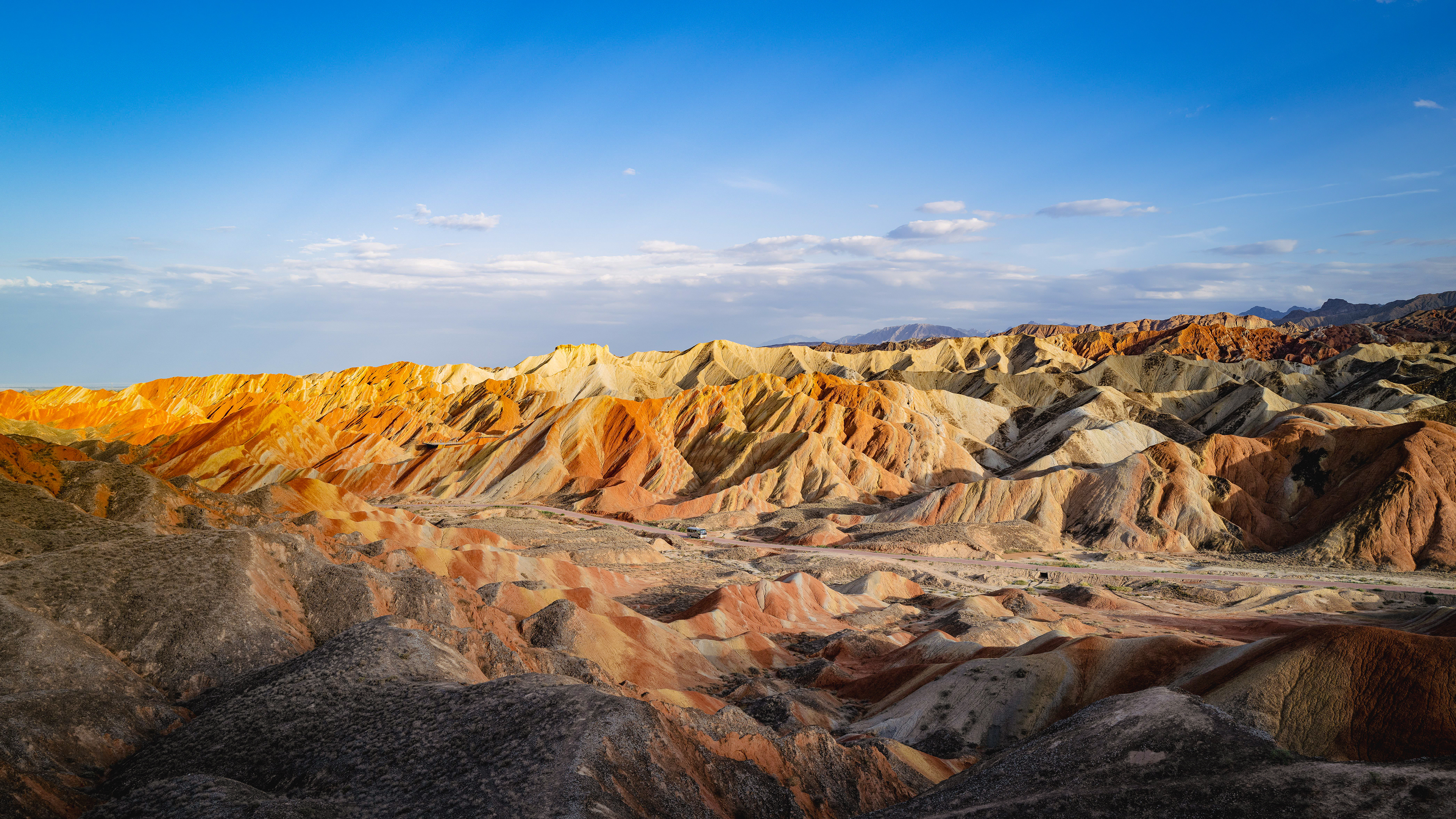
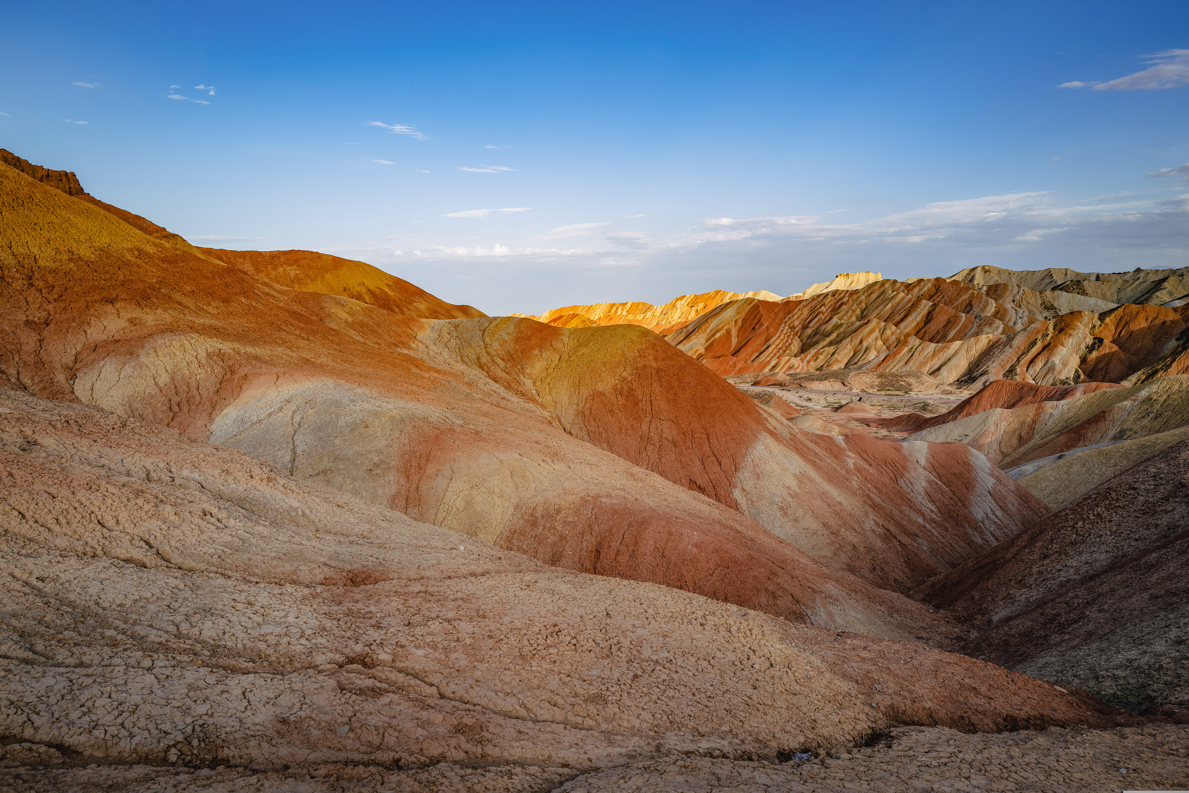
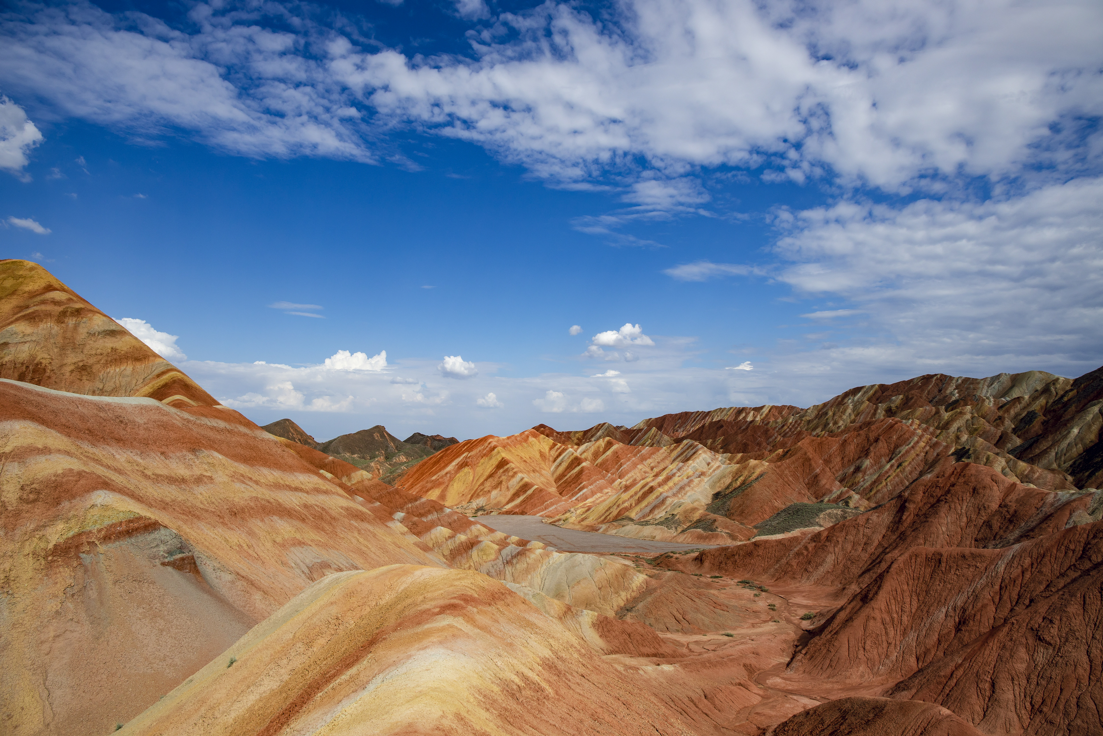
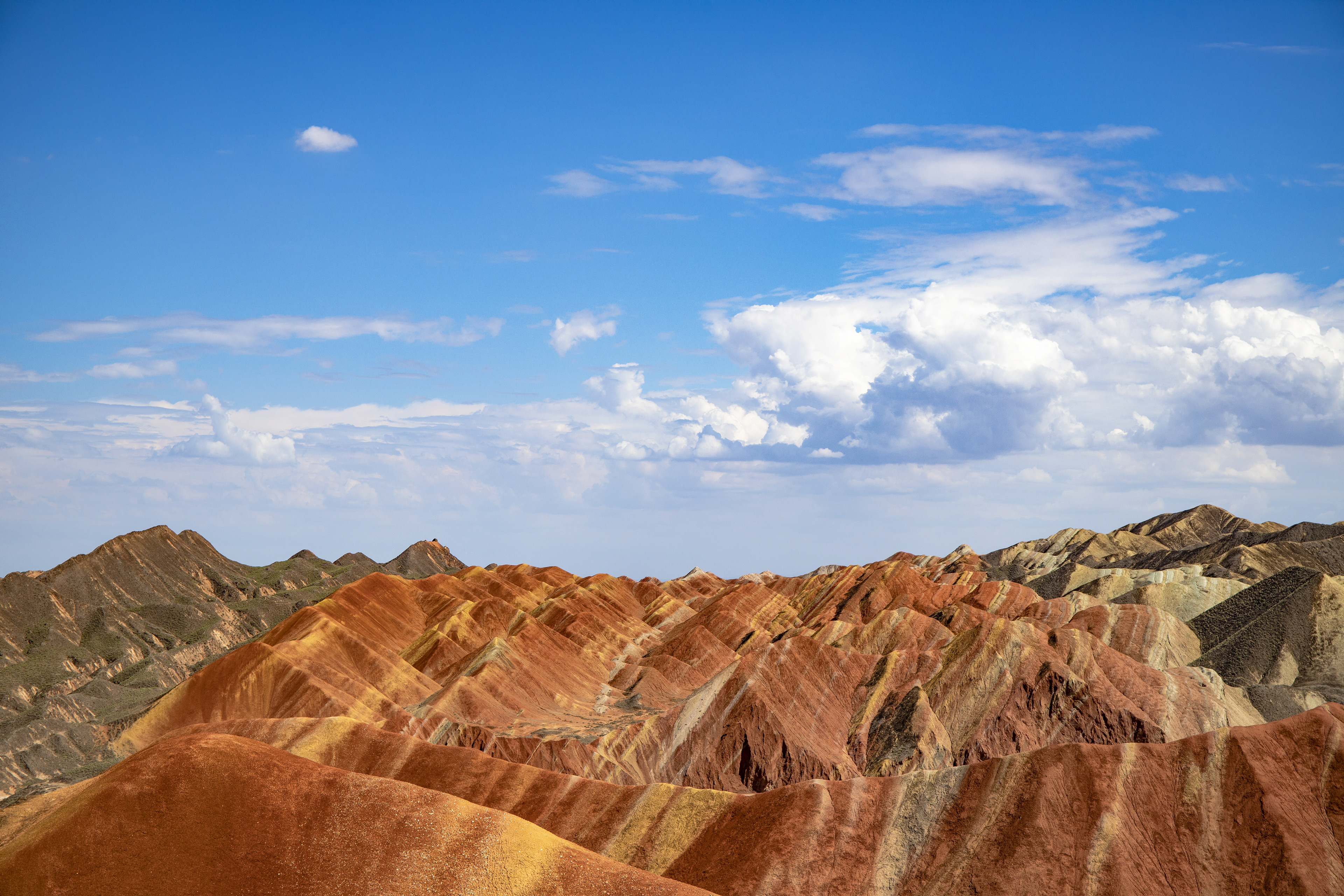
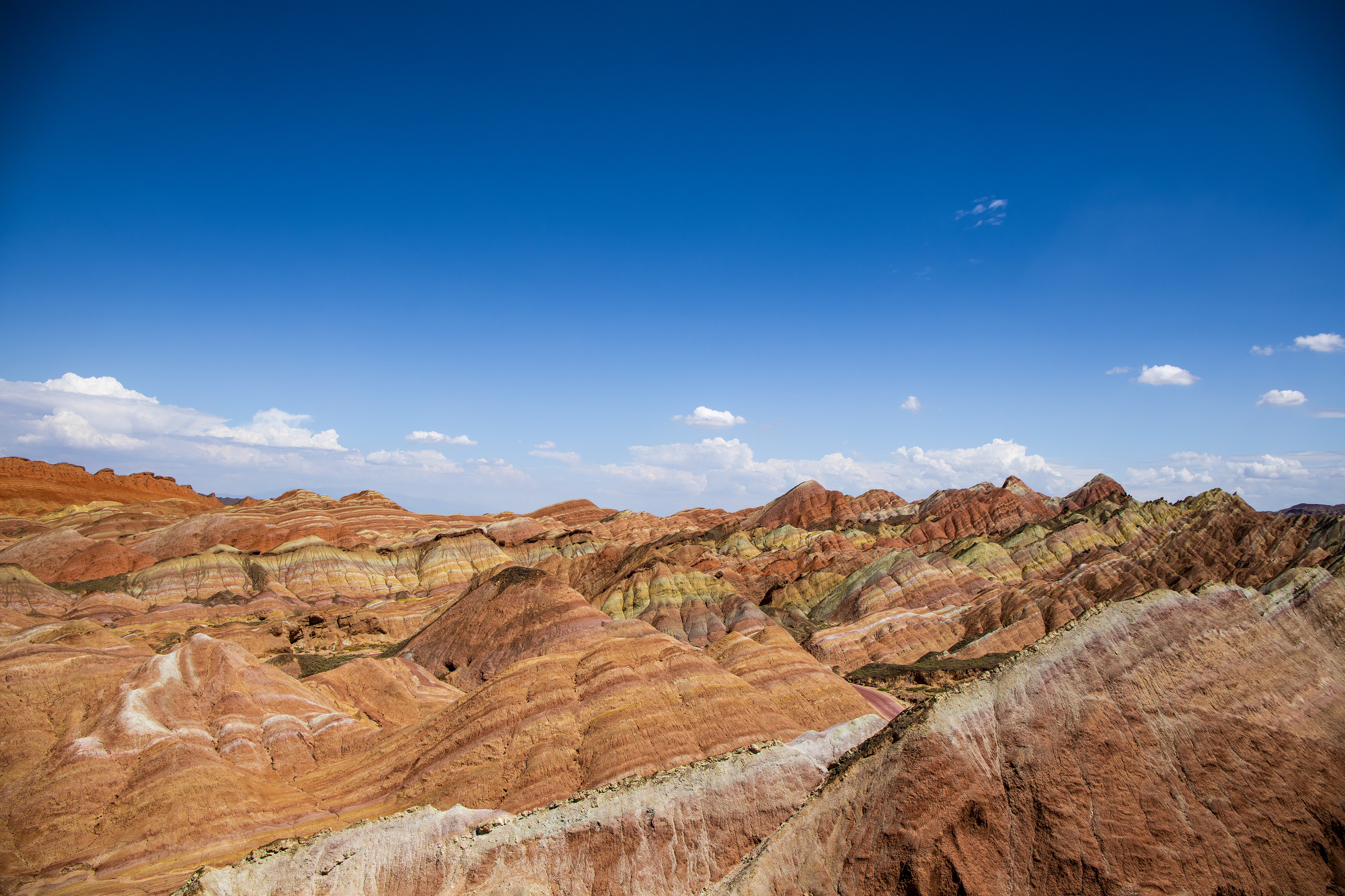
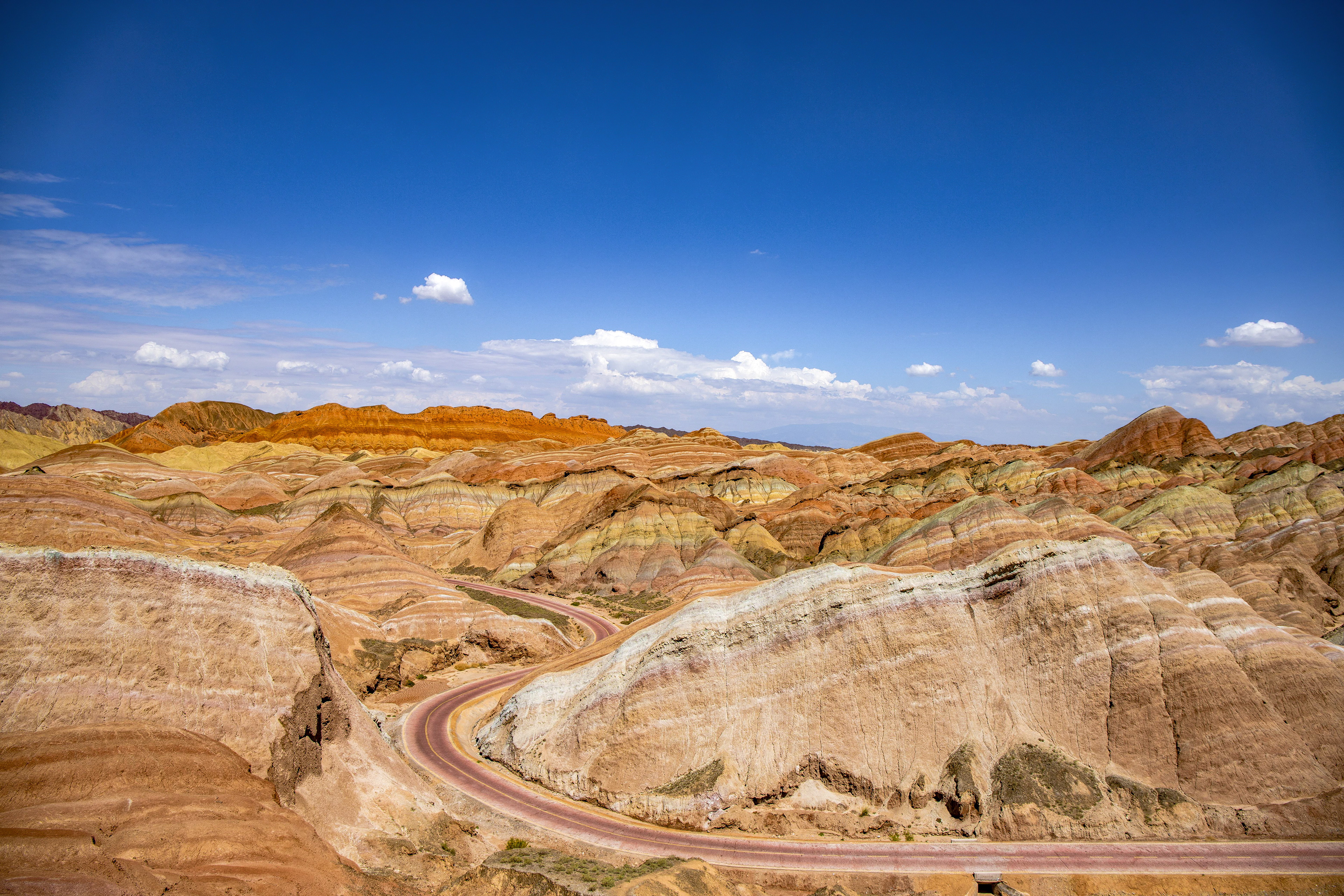
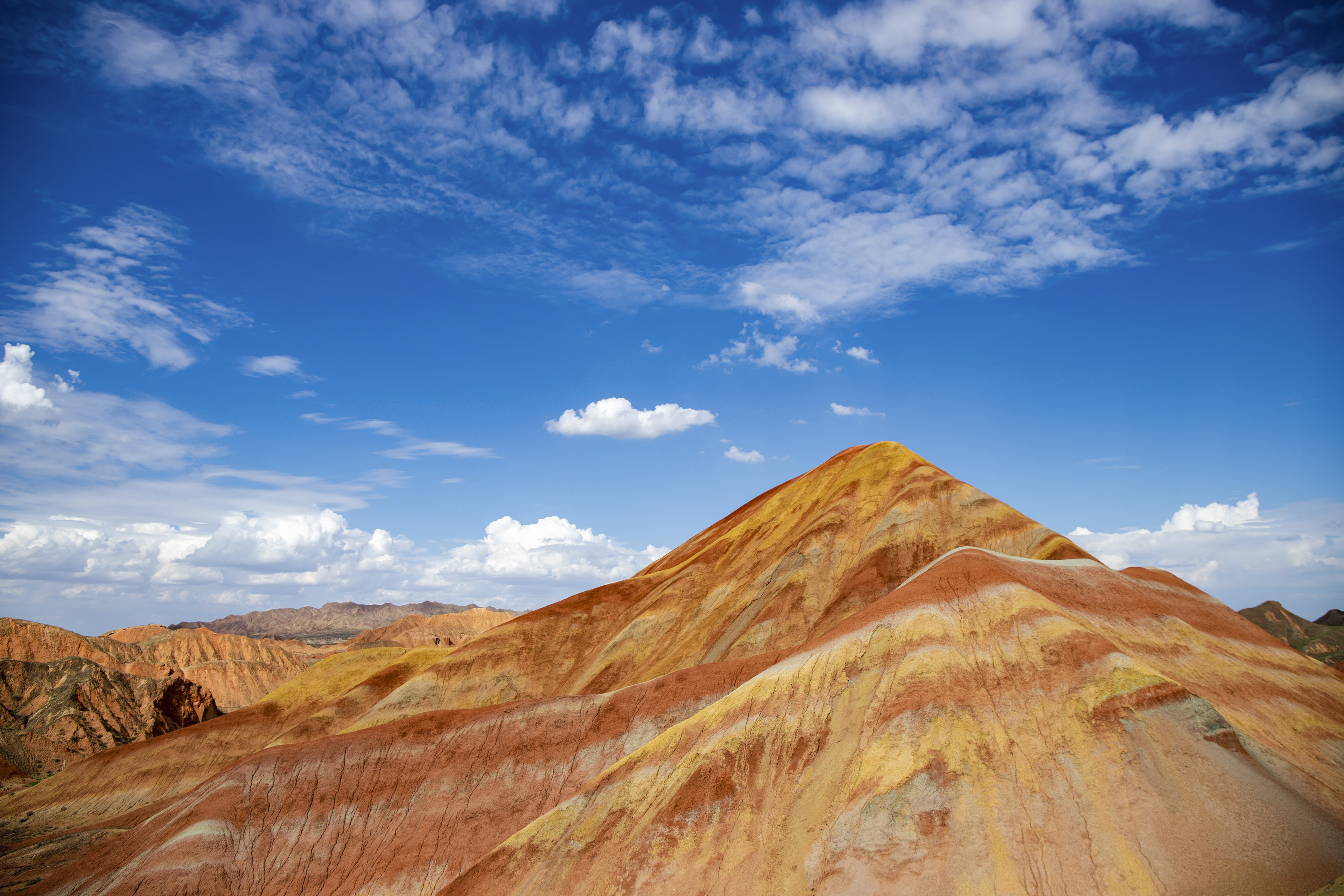
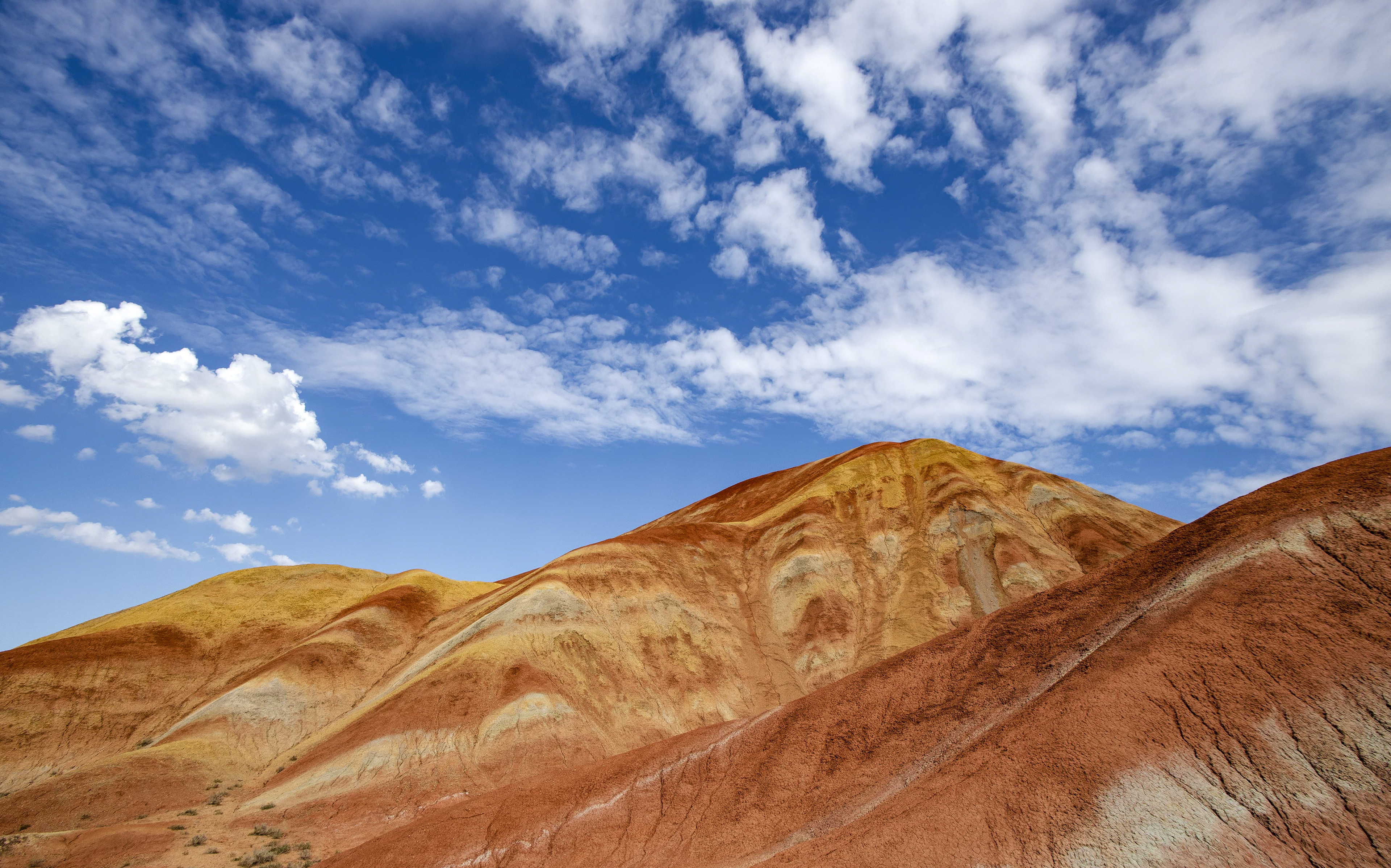
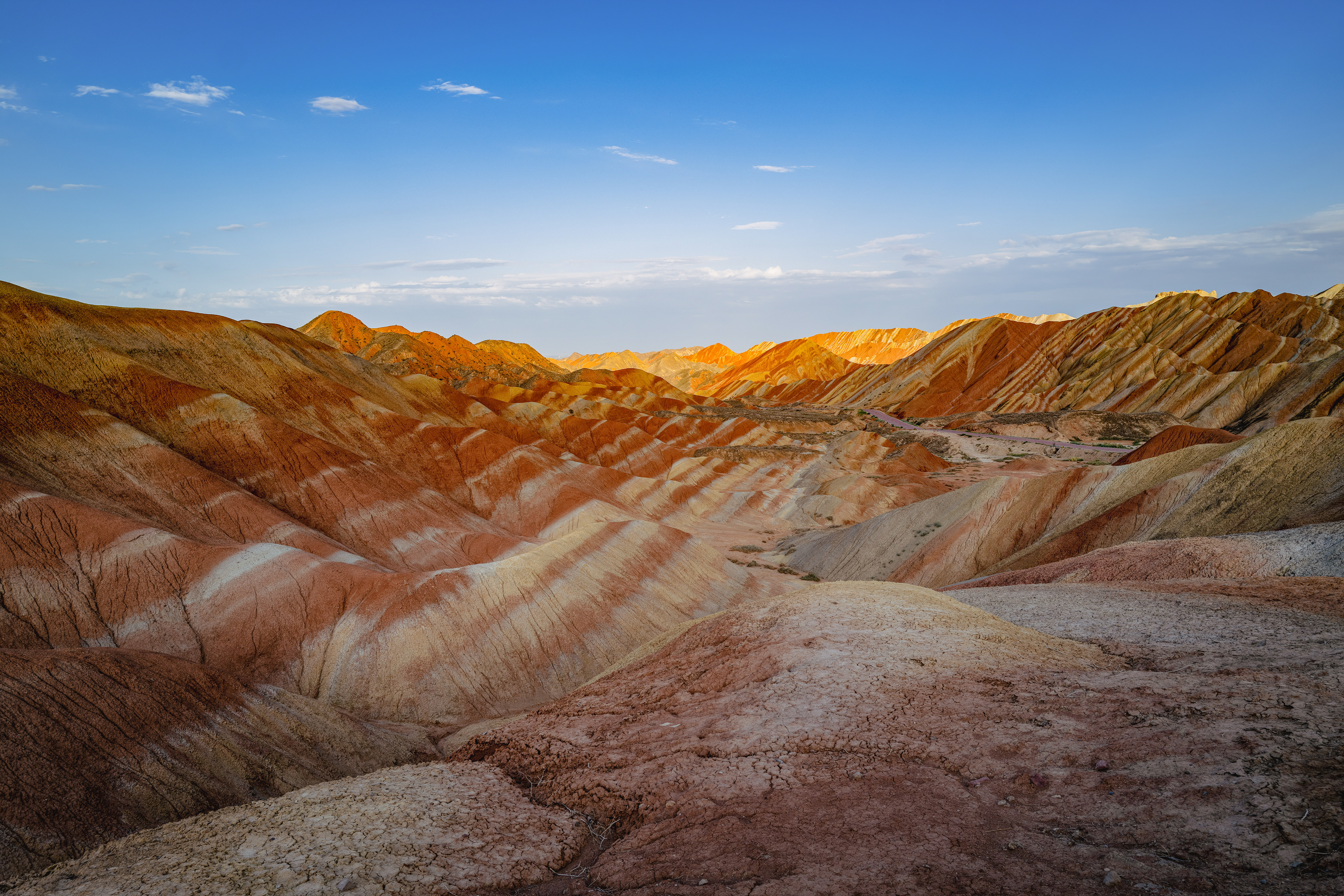
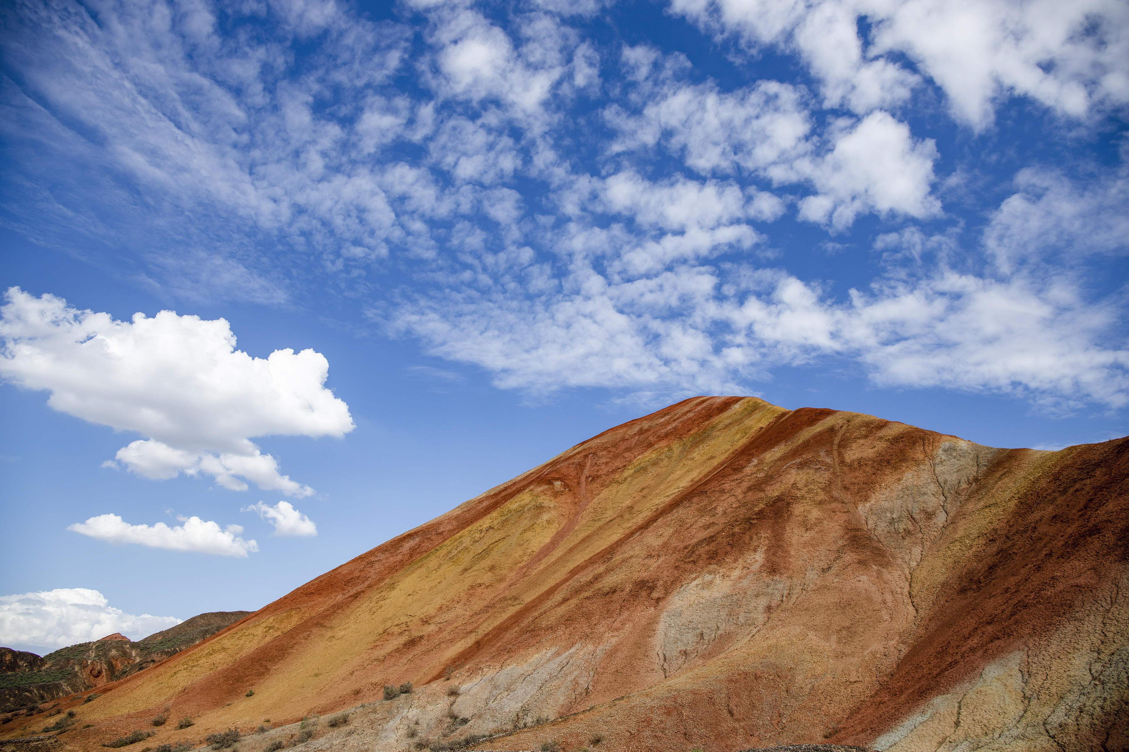
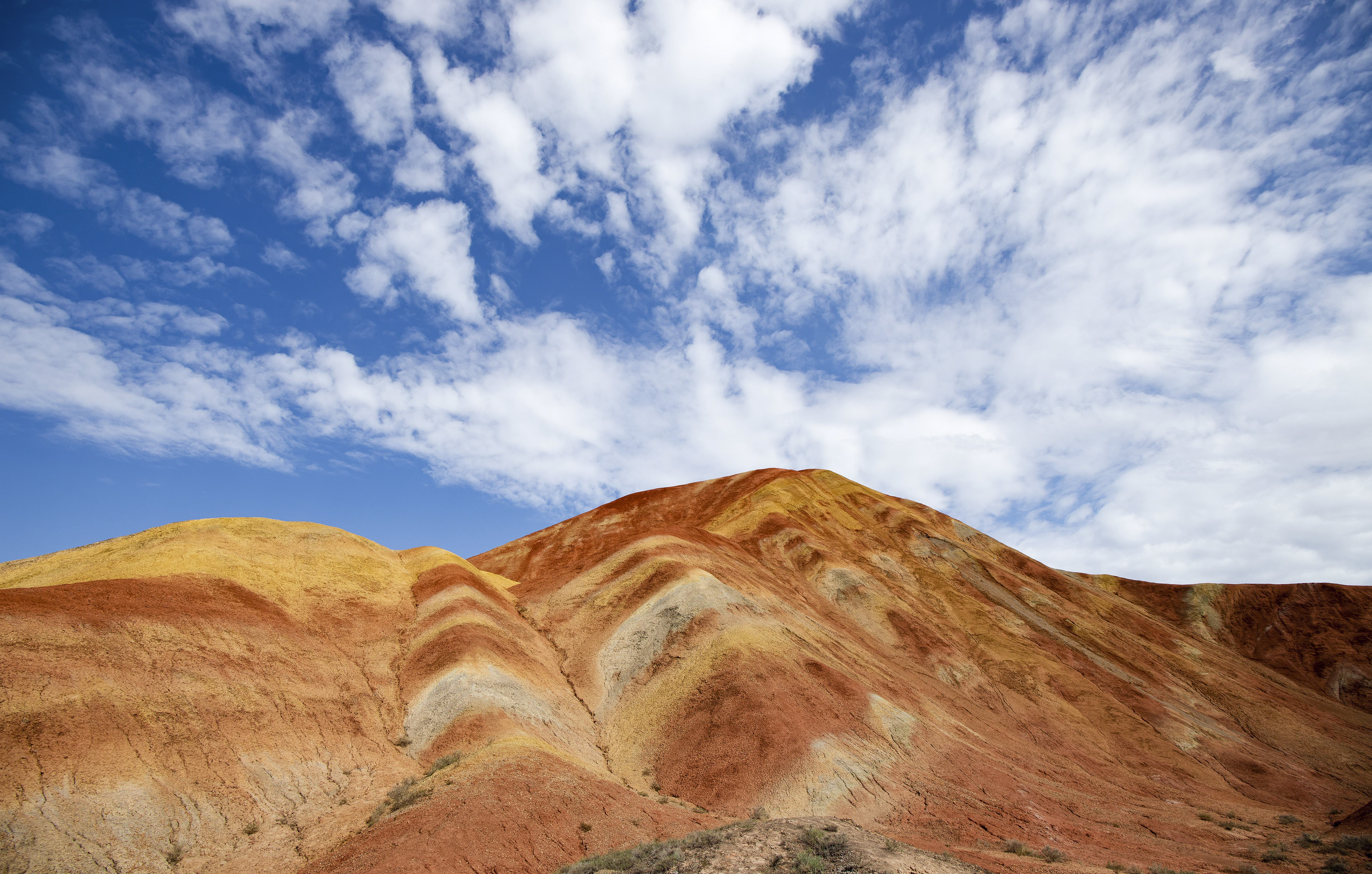
Zhangye Danxia is renowned for its unusual rock formations, which range from smooth to sharp and stand several hundred meters tall. They result from the deposition of sandstone and other minerals over a period of 24 million years. The result was tilted by the action of the same tectonic plates responsible for creating parts of the Himalayas. Wind, rain, and time then sculpted unique shapes, including towers, pillars, and ravines, with varying colors, patterns, and sizes.
About 540 million years ago, this area was once part of the ocean. Due to tectonic plate collision, the land was folded, mountains formed, and it was lifted above sea level. Red sandstone was deposited when rivers formed in the area. When the ground sank into a basin, mudstone was deposited on the red sandstone. During different periods, varying sedimentary rocks contained various amounts of ferrous salt in the mud and stone. This is why the layers have different colors. Due to the changes in the sedimentary environments, the sedimentary layers formed exhibit different colors, including red, purplish red, yellowish green, grayish green, and gray. Every layer took thousands of years to form.


The movement of the Himalayas lifted the Danxia landforms higher, and rivers formed. River erosion formed gorges, creating the early Danxia landscape. After further geological periods, river and wind erosion formed the colorful layers we see today.